

VIVA - New Active Tourism Itineraries in Villanova
Main sections of the site and Thematic sites
Main navigation
From Mara to the Kaolin Mines
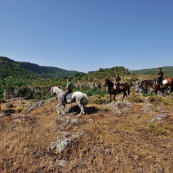
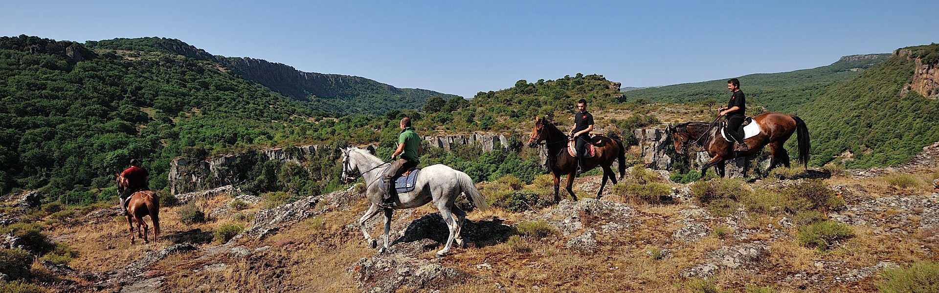
A volcanic landscape characterised by a shrine, by the ruins of a castle and by caves inhabited during prehistoric times.
Technical info
Type
A pathway of historic and panoramic interest.
Degree of difficulty
Medium difficulty route but intermittent paths not signposted.
Time required
About 6 hours.
Practicability
Walking and bicycle route.
Departure
Info point in Mara, piazza Marconi 8.
Description
Taking the road from Mara to Villanova Monteleone, after about 3 km, turn right at the tourist signs indicating the Shrine and the Caves of Bonuighinu. After 4 km of smooth path you come to the country Church of Nostra Signora of Bonuighinu. Probably built during the thirteenth century, following a natural slope at the foot of Pedra ‘e Multa, it was dedicated to San Lorenzo and probably was the parish of a medieval village, abandoned later. Its present features are the result of expansion and renovation works carried out in 1797. The white limestone façade looks impressive because of the upward effect generated by the three front steps, embellished with carvings and richly decorated in rococo style. It almost seems a derivation of the great Baroque wooden altars widespread in the churches all over the island. The interior is characterised by a single nave roofed by a barrel vault. In front of the church, starting from a fortified courtyard, two convergent steps lead to a square where there are the ancient cumbessias.
Looking south-west, towards the valley excavated by the Riu Baddeda, it is possible to see the rugged volcanic mountain where once the Castle of Bonvehì also called Bonuighinu stood, which belonged to the Doria family and was demolished around 1435 by the Aragonese invaders. The climb to reach the few remains of the castle, located at 510 mt above sea level, is quite challenging.
Proceeding north, after 1.5 km, it is possible to see the interesting caves of Filiestru and Tintia (Sa Ucca de su Tintirriolu); the latter, in addition to the considerable speleological value, is known for having restored ancient remains (Middle Neolithic, 5th millennium BC) that gave life to the Culture of Bonuighinu.
Returning back, after the shrine, take the first crossroads turning right towards a small carriageway located in a natural background. The landscape, after a flat among fields, starts to climb towards the slopes of Cuguruntis (on top of which stands the nuraghe with the same name) and Pianu Giuale located among rocks, scrub and cork trees. Nearby are the old Kaolin Mines, whose white-pink colored rocks offer a breathtaking sight. The kaolin of excellent quality extracted from these quarries was exported for the production of fine ceramics.